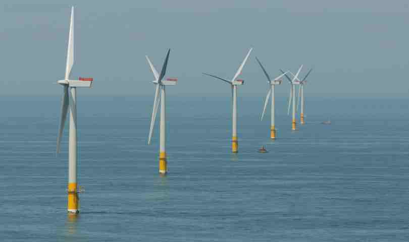
SSE Renewables has submitted Foreshore Licence applications to assess the suitability of two offshore wind farm sites in Irish waters.
The renewable energy developer is seeking permission to carry out site investigation works to assess the suitability of 444 sq km of sea area off the Port of Drogheda for the potential development of an offshore wind farm.
The site would be capable of generating around 800MW of energy in water depths suitable for fixed turbine installations. The potential site is located c.18km from Dunany Point in Co. Louth at its most northern point, and from Braymore Point in Co. Dublin at its most southern point.
SSE Renewables has also applied for a separate licence to survey a 689 sq km area off the Waterford and Suir Estuary for an additional 800MW offshore wind development. Situated approximately 25km offshore in the Celtic Sea, the water depths potentially make this site suitable for the deployment of emerging floating wind turbine technology.
SSE Renewables is the leading developer of offshore wind energy in the UK and Ireland, with 3.3GW of consented projects in UK and Irish waters. Its consented pipeline includes Phase 2 of Arklow Bank Wind Park off the Co. Wicklow coast in the south Irish Sea, which is being actively developed by SSE Renewables and has the potential to generate around 800MW of green energy.
The company said the two site locations have been chosen following a phased site selection process which included regional resource and constraints analysis and an assessment of renewable generation capacity requirements.
Preliminary shipping and navigation assessments have been undertaken to ensure that any navigational risks are fully understood, should the proposed areas be taken forward for development. The company said these assessments have informed the position, size and shape of each of the proposed areas to be surveyed.
As part of the assessment process, SSE Renewables intends carrying out geophysical, geotechnical and environmental surveys of the prospect areas. This will include detailed mapping of nearshore shallow geological and seabed character; reconnaissance level mapping of seabed relief and features; and baseline environmental mapping.
Details of the applications are available at www.housing.gov.ie, and the company said a public consultation process will commence in the coming weeks.


